Western San Joaquin Valley City
Welcome to Coalinga, a Fresno County city in the western San Joaquin Valley, where oil, agriculture, and the Diablo Range foothills shape life.
Coalinga is a city in Fresno County, California, set in Pleasant Valley at the western edge of the San Joaquin Valley, about 80 miles southeast of Salinas. Its population is roughly 17,500. The city's unusual name reflects its origin as a coaling station on the railroad — it was known successively as Coaling Station A, Coalingo, and Coalinga Station before becoming Coalinga. Oil has defined much of Coalinga's modern history. The surrounding Coalinga Oil Field, operated by companies including Chevron and Aera Energy, ranks among California's largest, and the nearby Guijarral Hills Oil Field adds to the local energy economy. For generations, the oil industry has provided employment and shaped the town's character, alongside agriculture and, more recently, correctional and health facilities. Agriculture is the other pillar. The region originally centered on grazing, but the arrival of canal water in 1972 transformed the landscape, bringing orchards and row crops to the valley floor. Today farming, oil, and the state institutions that anchor the local employment base define the working economy. Coalinga is also home to Pleasant Valley State Prison and Coalinga State Hospital, the latter opened in 2005. These facilities are among the city's largest employers and give the community an institutional dimension unusual for a town of its size. The city sits beneath the Diablo Range, with Interstate 5 running just to the east, placing it on the primary highway corridor between Northern and Southern California. That location gives Coalinga a role as a highway stop as well as a working town. Its combination of oil fields, farmland, foothill scenery, and state facilities makes it a distinct, hard-working community in the western valley, where schools, a local museum, and civic life reflect both its pioneer and industrial heritage.
Coalinga is in Fresno County, California, in the Pleasant Valley of the western San Joaquin Valley, about 80 miles southeast of Salinas. Its population is roughly 17,500, and Interstate 5 runs just east of the city.
Coalinga's name comes from its origin as a railroad coaling station on the Southern Pacific line. The settlement was known successively as Coaling Station A, Coalingo, and Coalinga Station before the name settled on Coalinga.
Coalinga's economy centers on oil and agriculture. The Coalinga Oil Field, operated by companies including Chevron and Aera Energy, is among California's largest, and canal water arriving in 1972 helped expand orchards and row crops. Pleasant Valley State Prison and Coalinga State Hospital are also major employers.
City Guide
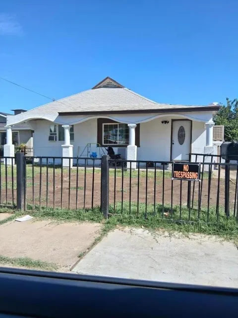
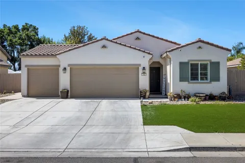
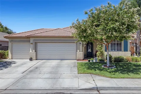
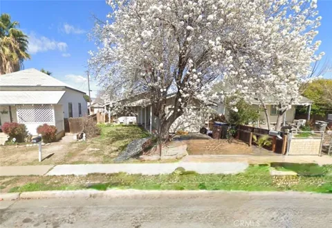
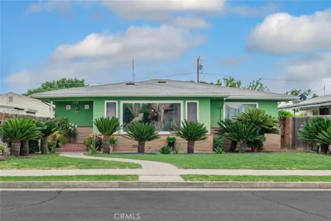
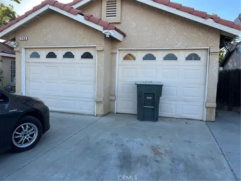
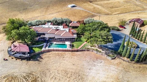
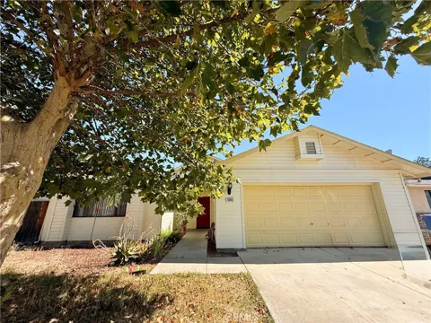
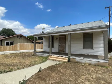
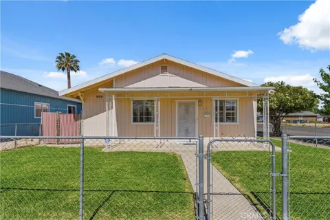
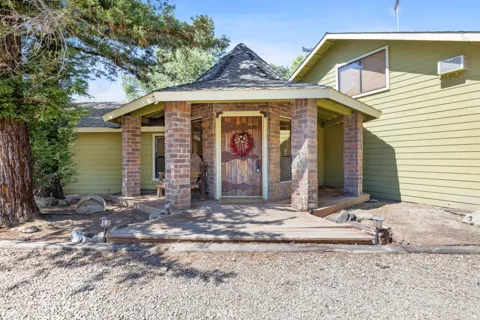
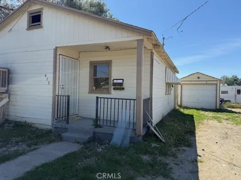
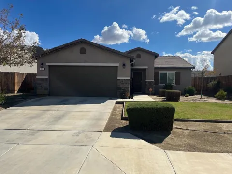
Coalinga's housing stock reflects a working-class oil and agricultural town. The city holds a mix of older single-family homes, many built during oil-era growth, alongside newer construction on the edges of town. Housing is generally modest in scale, with a substantial share of residents employed in the oil fields, farms, and state facilities. The surrounding foothills and open valley land offer larger parcels and rural living options just outside the city limits.
Coalinga is laid out as a compact grid town around its original railroad-era core, with residential streets extending toward the foothills. Neighborhoods are distinguished more by era than by distinct names, ranging from the older homes near downtown to newer subdivisions on the city's outskirts. The downtown commercial district remains the community's center. Open country and oil-field infrastructure frame the edges of town, reinforcing its identity as a working valley community.
Life in Coalinga is grounded in work — oil, agriculture, and the state facilities that anchor employment — and in the slower rhythms of a small San Joaquin Valley city. Community life centers on schools, churches, and local events, with a strong sense of local identity tied to the oil fields and the land. The Diablo Range provides a scenic backdrop, and Interstate 5 brings travelers through the area. It is a practical, unpretentious lifestyle characteristic of the western valley.
Coalinga is served by the Coalinga-Huron Unified School District, which operates local elementary, middle, and high schools, including Coalinga High School. The community's school history is deep, with the first high school built in 1910. The district also serves nearby Huron and the surrounding rural area, and its programs reflect the region's agricultural and industrial economy. Schools are a central part of civic life in this working western-valley city.
Coalinga sits just west of Interstate 5, placing it directly on the principal highway corridor between Northern and Southern California. State Route 198 and State Route 33 serve the surrounding area, connecting the city to the San Joaquin Valley and the coastal ranges. The city's highway position supports its role as a stopping point for travelers and a shipping route for agriculture and oil. Personal vehicles are essential, and no fixed-route passenger rail serves the city.
The Diablo Range and the open western valley offer outdoor recreation around Coalinga, from hiking and foothill exploring to hunting and off-road activities on surrounding public and private land. The city maintains community parks and recreation programs, and its local museum focuses on oil, geology, and pioneer life. Interstate 5 access makes weekend trips to the coast or the Sierra within reach. Recreation here blends the rugged foothills with small-town community amenities.
MARKET SNAPSHOT
How homes have been selling here over the last 90 days.
Market data reflects closed sales over the last 90 days and is provided for informational purposes.
BROWSE BY ZIP
Browse listings by postal code in this area.